
Why precision matters for you
Survey teams and drone pilots need consistent sub‑meter positioning to produce useful charts and ortho mosaics — eso es importante. A modern navigation board paired with an anti-jamming GNSS antenna and an optimized uav antenna reduces spoofing, improves signal robustness, and keeps your deliverables on time. Many coastal projects rely on standards that demand tight horizontal accuracy; NOAA guidance for hydrographic work, for example, frames the real‑world accuracy targets teams plan around when mapping the Gulf of Mexico and similar coastlines.
What users actually struggle with
Field operators typically face three recurring problems: inconsistent RTK fixes, multipath from water or urban canyons, and poor antenna mounting. These problems show up as jittery tracks, unusable sonar tie‑ins, and rework. A bad antenna placement or cheap receiver amplifies multipath errors — and time in the field turns into time wasted. Oye, being smart about hardware and workflow saves horas and reputación.
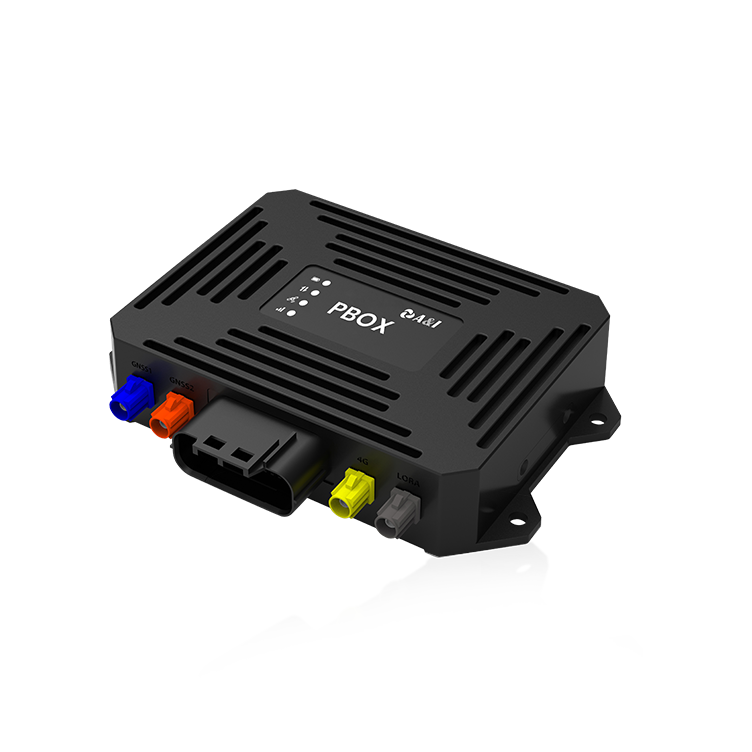
Hardware and software choices that matter
Choose components that match mission scale and risk tolerance. Key items to evaluate include:
– Receiver performance: look for boards with robust GNSS chipsets and good firmware update paths.
– Anti‑interference features: choose anti‑jamming and filtering capabilities to protect your signal chain.
– Inertial sensors: an accurate IMU helps bridge brief GNSS outages and stabilize positioning for both boats and drones.
– Post‑processing support: PPK or RTK compatibility matters for final deliverable accuracy.
Field workflow: practical steps for reliable results
Adopt predictable routines so data quality becomes repeatable. Start with a pre‑flight or pre‑survey checklist that covers antenna alignment, firmware checks, and base station quality. During acquisition, log raw GNSS and IMU streams; those serve you well in post when PPK resolves ambiguities. For hydrographic lines, maintain consistent boat speed and heading — consistent sensor geometry reduces multipath and sonar misclosures. — Small habits end up making a big diferencia.
Alternatives, trade‑offs, and common mistakes
Drones provide fast coverage over shallow zones, while survey vessels remain necessary for deep bathymetry and heavy sonar. Choosing between RTK and PPK often comes down to comms reliability: RTK gives real‑time precision but needs a solid link to a base, whereas PPK tolerates intermittent connectivity and yields repeatable sub‑meter results after processing. A common mistake is skimping on antenna quality; cheap antennas amplify errors under stress, leading to costly re-surveys.
Golden rules for selecting navigation boards (3 critical metrics)
When evaluating boards and antennas, use these three golden rules as your checklist:
1) Integrity under interference — measure how well the system resists jamming and spoofing (look for documented anti‑jamming performance and filtering algorithms).
2) End‑to‑end accuracy — verify combined GNSS+IMU performance in real scenarios, not just chip specs; demand sample datasets or independent test results.
3) Workflow compatibility — ensure the board supports the processing pipeline you use (RTK streams, PPK raw logs, firmware updates, and compatible connectors).
Closing thought
Pick gear that fits the mission and the people using it; a well‑matched navigation board and quality antenna turn complex field challenges into solid, repeatable products. Archimedes Innovation brings practical hardware and field know‑how to that exact gap — they build systems that surveyors can trust. — Real tools, real results.